About
Dear traveler!
Glad to see you here! Welcome to the community!
We expect that our hiking world map will be your favorite tool for traveling. And of course a good halt after adventures.
Here you can create a route of your travel, describe it in detail, give photos and send to your friends. You can get acquainted with other routes, leave comments, save and share useful materials.The main goal of Putnik is to create the Hiking World Map by common effort, so you could take a walk from Bresta to Vladivostok in the most beautiful and safe places. From ocean to ocean! Far from polluted highways and buzzy cities.
It doesn’t seem possible to lay routes along forest and field roads now – you don't know them yet! Some picturesque trails and pathways remain unknown. There is not enough information about possible detours, such as bridges and paved roads. Drawing up an ecological and scenic route around the country can take weeks and months.
So long as even in the suburbs hikers and cyclers cannot avoid dangerous and dirty roads, great expeditions are unlikely to merit discussion. Sometimes it is not possible to find a suitable path between neighboring settlements, especially through forests and fields!
And this is where Putnik.one comes for help.
Here the traveler will be able to plan a trip calmly and quickly, relying on already known paths.
And the travel agent will be able to easily present to his clients the details of the future adventure.
The Hunter and the Fisherman will tell you where fish are biting and where to find wildfowl. The Mushroom Gatherer and the Treasure Seeker will show you the best places for enrichment. No need to worry about privacy! Activate Covert Mode and the route will only be seen by the people you choose.
The more travelers use Putnik.one, the more detailed and reliable our Hiking World Map becomes.
So friends!
Transfer your knowledge to the map! Tell people about the routes that you know thoroughly –hiking, cycling, by water or by horse. Add descriptions of landmarks, parking lots, water sources, hazards, etc. Don't forget about shops, sights and beautiful places!
You can literally guide a person along the desired route, pointing out the smallest details. For example: “At the burnt stump, turn strictly East (to the right) to a barely visible, overgrown path”. Then add a photo of the burnt stump :)
In such a way, road by road, traveler by traveler, we will connect our trails into one Hiking World Map. Do an easy walk for a couple of hours or go on a journey to the ends of the world!
P.S: As practice shows, travelers like to put points on the map with a description of a place or even an event that happened here. Restaurants, viewpoints in the mountains, architecture, great battles of the past with reference to the area... Putnik is also an attraction map! :)
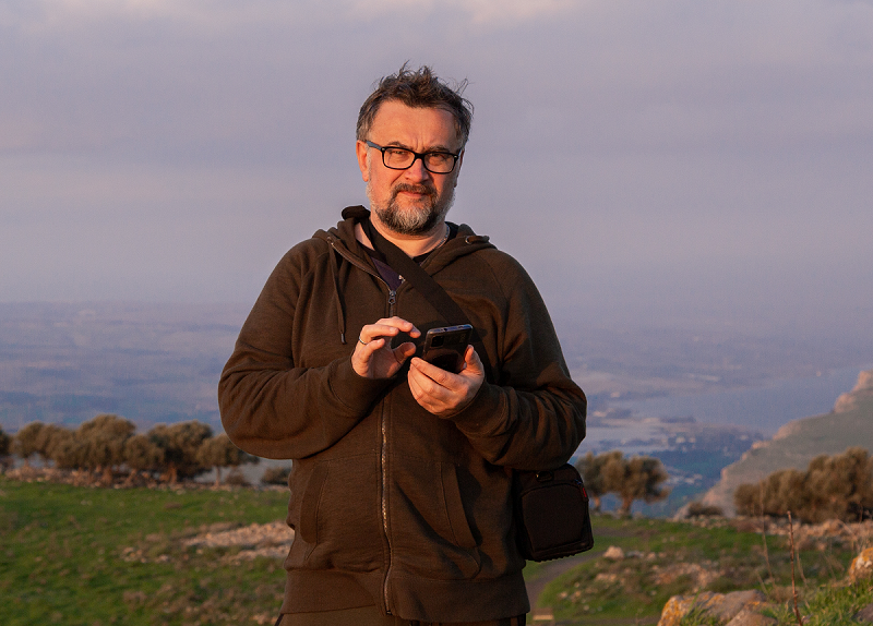
P.P.S: Putnik.one is a private and independent project. Author and owner Michael Malleus. It’s me on the photo :) You can contact me by e-mail putnik.one.ru@gmail.com
The site was developed by "Esoteric Design" https://esodes.ru.